 Home / U.S. State Travel Guides / U.S. Vacations / U.S. National Parks / U.S. State Highpoints / U.S. Road Trip Planning HIKING IN ARCHES NATIONAL PARK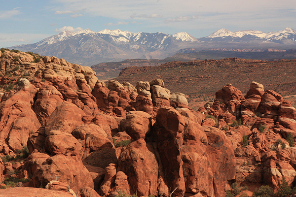 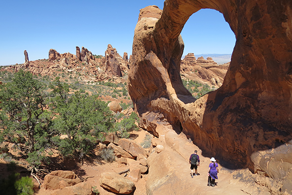 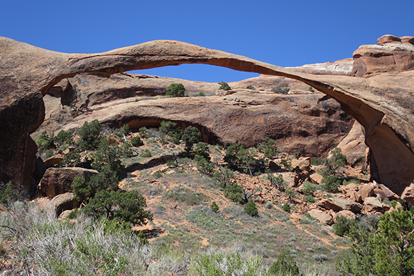
Welcome to Bigroads.com's guide to the hiking trails of Arches National Park! Arches National Park has a great amount number of trails, and most are truly extraordinary. There is no place on earth with such a large concentration of amazing natural arches. All you need is a day or two of hiking to obtain a great sense of what this very special national park is all about. As an added bonus, Arches is close to the town of Moab, which offers, in my opinion, the best base camp for outdoor adventures in the entire country. Before you set out for a hike in Arches National Park, you should read this information: ✮ Extremely hot days are very common from late May through early October (85-90 plus degrees is fairly common in summer). ✮ Trailhead parking can be extremely limited, especially at Wolfe Ranch/Delicate Arch, so arrive early or later in the day to guarantee yourself a spot. ✮ You'll likely need a timed entry permit to enter the park during normal hours ✮ Start hiking early in the morning (i.e. 6:00-8:00am) to beat some of the summer heat. ✮ Hiking here in winter can be a snowy/icy affair; foot traction is often highly recommended (i.e. Microspikes); snowshoes are never needed. ✮ Always hike with at least 2 liters of water per person (the general rule is actually 1 liter per person per hour). ✮ Avoid hiking on biological soil crusts. If you stay on trail and/or hike in "day or sandy washes", you shouldn't have a problem avoiding the crusts. ✮ There are some great off-trail hiking, rock scrambling, and rock-climbing opportunities in the national park (tip: do an internet search to find them).  EASY TRAILS
MODERATE TRAILS
DIFFICULT TRAILS
TOP 5 DAY HIKES IN ARCHES NATIONAL PARK✮ Delicate Arch - this is the state symbol of Utah and it is a rite of passage for all travelers of the American Southwest (3.0 miles round-trip) ✮ Devils Garden Loop - this is the best long hike in the park; it passes by 7 arches (7.2-8.5 miles round-trip, depending on spur trails taken) ✮ Sand Dune Arch & Broken Arch - beautiful hike to 2 arches, with an easy and relatively quiet walk between them (1.7 miles round-trip) ✮ Tower Arch - this is an amazing arch that lacks the crowds of the other classic arches in the park (3.4 miles round-trip) ✮ Windows Loop - see 3 great arches on a relatively easy loop (1.2 mile loop) BACKPACKING IN ARCHES NATIONAL PARKThere are a few desogmated backcountry backpacking areas in this national park (e.g. Courthouse Wash, Devils Garden). You'll need to carry all the water you'll need as water sources typically do not exist. For more information, check the Backpacking page of the Arches National Park NPS website.MORE GREAT DAY HIKES NEARBY✮ Fisher Towers Trail / Fisher Towers - located on BLM land ✮ Canyonlands National Park-Island in the Sky District - at a minimum, don't miss the easy walk to Mesa Arch (preferably at sunrise) ✮ Canyonlands National Park-Needles District - various trails; this area also offers fantastic backpacking opportunities (permits required) ✮ Corona Arch - a can't miss arch located on BLM land (this arch is more impressive than most arches in Arches National Park!) ✮ Courthouse Wash Panel - impressive petroglyphs near downtown Moab ✮ Jeep Arch / Culvert (Dragonfly) Canyon - located on BLM land ✮ Hidden Valley - located on BLM land ✮ Hunter Canyon / Hunter Arch - located on BLM land ✮ Mill Creek / Left Hand swimming hole - located on BLM land; if the water is very murky at the start of the hike, don't bother ✮ Negro Bill Canyon / Morning Glory Natural Bridge - located on BLM land ✮ Portal Overlook Trail - located on BLM land; views of downtown Moab and nearby mountain ranges RECOMMENDED HIKING GUIDEBOOKS✮ Hiking Canyonlands & Arches National Park: > link ✮ Best Easy Day Hikes Canyonlands and Arches National Parks > link ✮ The Best Moab and Arches National Park Hikes > link LEARN MORE ABOUT ARCHES NATIONAL PARK✮ NPS.gov's official Arches National Park website > link ✮ Americansouthwest.net's guide to Arches National Park > link ✮ Discover Moab's guide to Arches National Park > link ✮ Your Guide to the National Parks: The Complete Guide to The National Parks > link ✮ National Geographic Guide to National Parks of the United States, 8th Edition > link  La Sal Mountains from the eastern side of the Devils Garden Loop  290-foot span of Landscape Arch 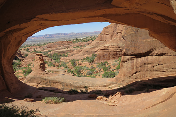 the beautiful & remote Tower Arch 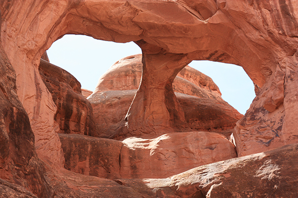 Skull Arch from a guided Fiery Furnace ranger tour 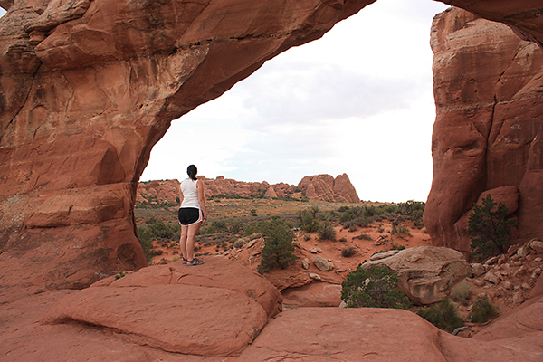 the attraction & uncrowded Broken Arch 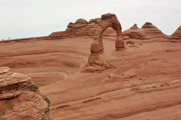 Delicate Arch from an off-trail viewpoint 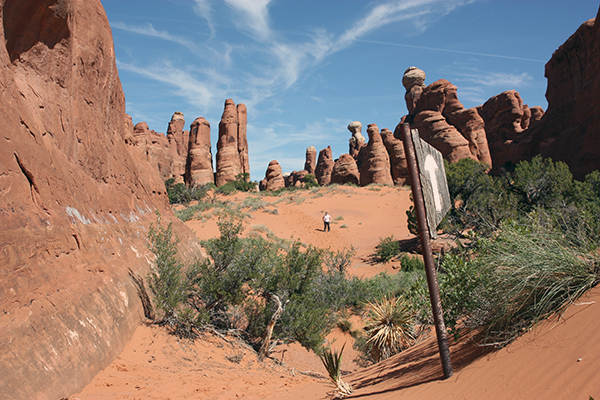 interesting rock formations on the trail to Tower Arch  Double O Arch along the Devils Garden Loop |